

Projects all over the country
Since the company was founded in 1995 we have worked on projects of very different scope and difficulty – from the street network of one town to the cadastral map of a whole municipality.
The map shows the towns and villages named in the list below. Projects without a point on the map cover the whole country or a long stretch.
- Cadastre, regulation and specialised maps
- Measurements, 3D models and volumes
- Design of roads, streets and sites
- Sofia – our office
Our more significant projects
Completed by us or with us in a leading role, in chronological order.
-
Tsenovo, Isperih and Lukovit municipalities
Land division plans for 8 villages – right after the company was founded.
-
Chirpan, Bozhurishte and the Stolipinovo quarter of Plovdiv
Cadastral plans.
-
Silistra, Elena and Bozhurishte
Regulation and vertical alignment plans.
-
Chelopech mine
Precise geodetic measurements, 3D modelling and calculation of the volumes of subsided ground.
-
Quarries at Yabalkovo and Garvanovo, Haskovo region
Precise geodetic measurements, 3D modelling and volume calculation.
-
Ivaylovgrad reservoir
3D terrain modelling and volume calculation.
-
The Danube at Vidin – Danube Bridge 2
3D modelling and profiles of the riverbed.
-
210 km of roads across the country
Geodetic survey and rehabilitation designs.
-
Municipal waste treatment sites
Survey, volume calculation, grading design, stakeout and earthworks cartogram – Yana, Han Bogrov, Isperih, Kubrat, Tsar Kaloyan, Vetovo, Samuil, Razgrad, Strelcha and Panagyurishte.
-
Streets and car parks in Sofia
Geodetic survey and design.
-
Silistra, Alfatar and Aydemir
Cadastral maps and cadastral registers, 2003–2008.
-
Tran
Survey and design for the rehabilitation of the town’s water supply and sewerage network.
-
The Bulgarian–Turkish border
Geodetic survey of a 60 km section for the foot-and-mouth disease fence project, 2011.
-
Roads for a 120 MW wind farm
Part of the investment design for strengthening and rebuilding 64 km of temporary field roads serving the turbines, early 2012.
-
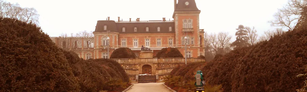
Evksinograd residence near Varna
Part of the team that produced a specialised map, spring 2012.
-
Ivaylovgrad
Survey and vertical alignment design of the town’s entire street network, summer 2012.
-
Sea beaches at Durankulak and Krapets, Shabla municipality
Specialised maps and registers – after a tender held by the Geodesy, Cartography and Cadastre Agency in November 2012.
-
Ilinden district, Sofia
Cadastral map and cadastral registers.
-
Municipal and forest roads
Designs of fourth-class municipal roads and of forest roads.

Ask for a price and a date
The price depends on the property and on what the measurements are for. Describe the job and we will tell you what it takes and what it costs.