

Surveying, cadastre and design
We survey land and buildings, enter them in the cadastral map, stake out boundaries and prepare the geodesy part of building designs – from a single plot to the cadastral map of a whole town. In Sofia and all over Bulgaria, since 1995.
- since 1995
- Sofia and all of Bulgaria
- N 42°40'49.0" · E 23°21'23.8"
- geodetic surveys
- cadastre entries
- stakeout
- partition of plots
- grading design
- roads and car parks
- 3D maps by drone
- earthwork volumes
- cadastral maps
- control networks
- CAD software
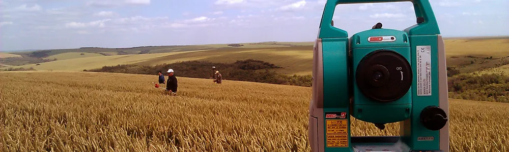
How we can help
We provide the full range of surveying services. Here are the ones asked for most, by what you have ahead of you.
You own land or a building
- A geodetic survey of a plot, a building or property boundaries
- Entry in the cadastral map of a plot, building, flat or garage
- Stakeout of property boundaries, with a protocol
- Partition of a plot, with all the paperwork
You are designing or building
- The geodesy part of a design – grading, vertical alignment, stakeout plans
- Design of roads and car parks
- Stakeout of buildings, points and linear structures
- 3D models and volumes of earthworks
You are commissioning a larger job
- Cadastral maps and registers of whole settlements
- Geodetic control networks
- Digitising and vectorising maps and drawings
- CAD software – roads, points, grading
New: drone surveys
We fly over the site and produce a 3D map and an orthophoto plan. From them we calculate volumes and areas.
- 20 MP camera
- up to 30 minutes of flight
- 3D maps and orthophoto
Measured so far
- the year we were founded
- 1995
- of roads – survey and rehabilitation designs
- 210 km
- of the Bulgarian–Turkish border surveyed
- 60 km
- of field roads for a wind farm – part of the design
- 64 km
Projects all over the country
Right after the company was founded we took part in the land division. Since then we have produced cadastral maps of towns, modelled reservoirs, quarries and riverbeds, and designed roads and streets.
- Silistra, Alfatar and Aydemir cadastral map and registers, 2003–2008
- The Bulgarian–Turkish border survey of a 60 km section, 2011
- Evksinograd residence specialised map, 2012
- Durankulak and Krapets specialised maps and registers of the sea beaches
- Cadastre, regulation and specialised maps
- Measurements, 3D models and volumes
- Design of roads, streets and sites
- Sofia – our office
From our drawings
Samples of our work – swipe sideways.
-
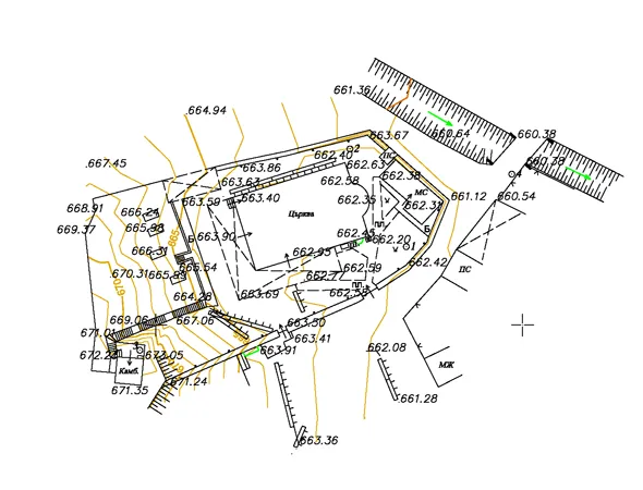
Geodetic survey -
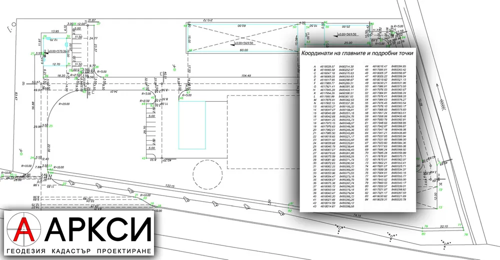
Stakeout plan -
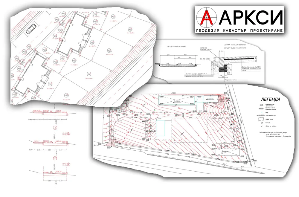
Grading design -
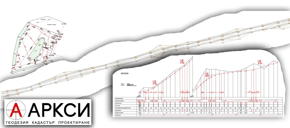
Road design -
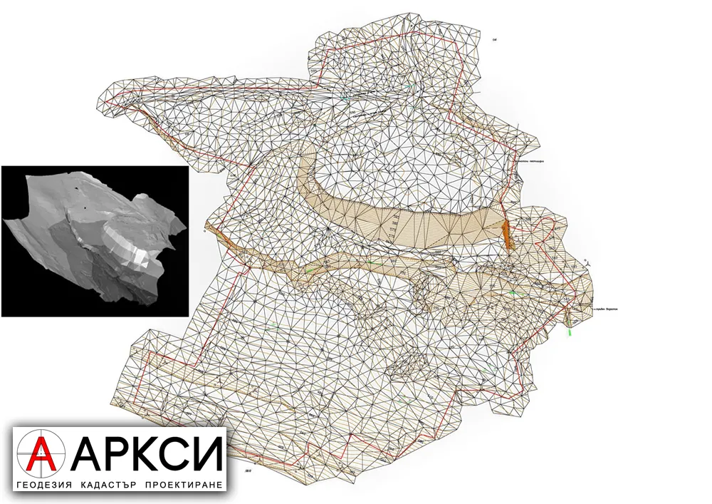
3D model -
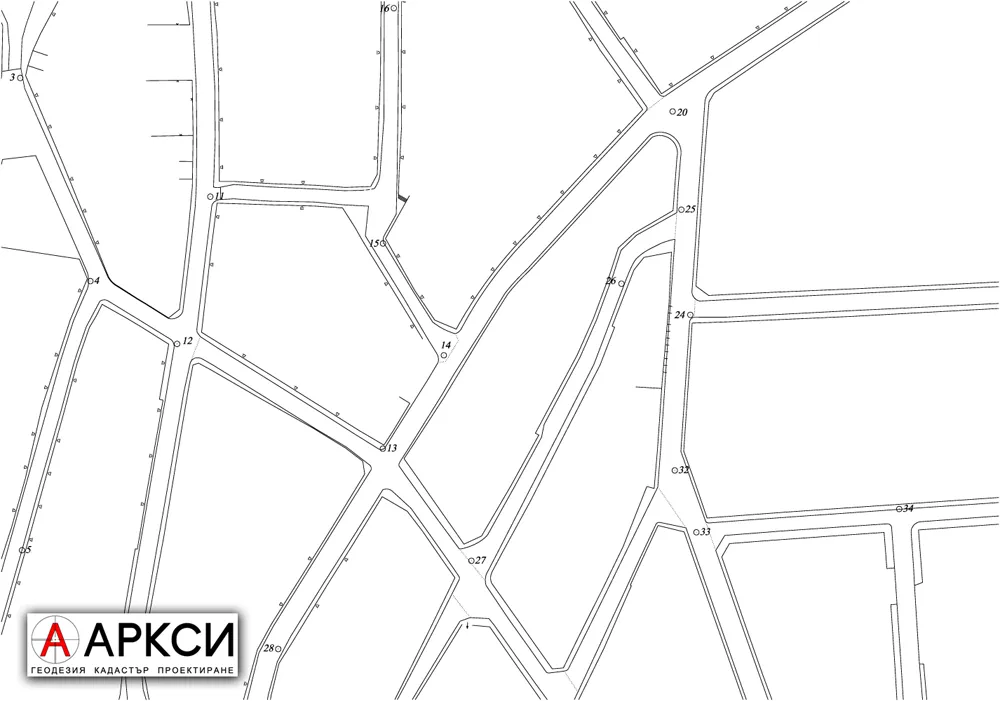
Control network
Licensed to do the work
Arcsi Ltd. is entered in the register of the Geodesy, Cartography and Cadastre Agency as a company qualified to carry out cadastral work under the Cadastre and Property Register Act.
The owner, Eng. Angel Prokopiev, is a member of the Chamber of Engineers in Investment Design and holds full design capacity for the geodesy part of designs.
CAD software
We develop our own applications – add-ons for CAD systems that support C++ and LISP (AutoCAD, ZWCAD and others).
- Points and Triangulation
- Roads
- Vertical Planning
Ask for a price and a date
The price depends on the property and on what the measurements are for. Describe the job and we will tell you what it takes and what it costs.