

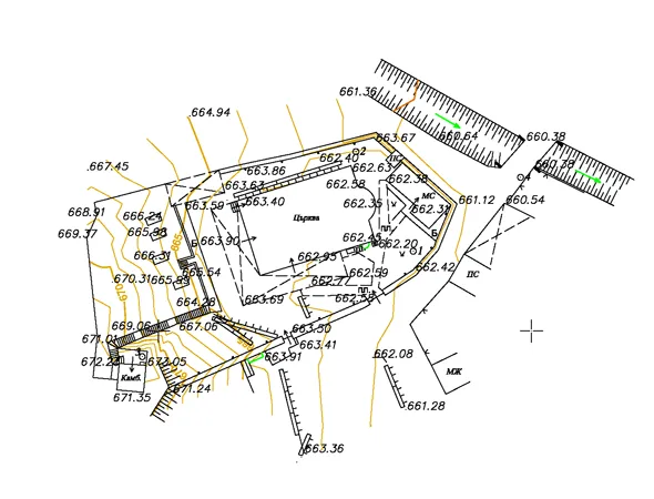
Geodetic surveys
We survey plots, buildings, property boundaries, farmland, forests, linear structures and more. We process the data and deliver it in sets prepared for whatever it will be used for. We also take GPS measurements.
We provide the full range of surveying services – for a single property in Sofia or a large site anywhere in Bulgaria. For a price and a date, call +359 888 323 716 or send an enquiry.
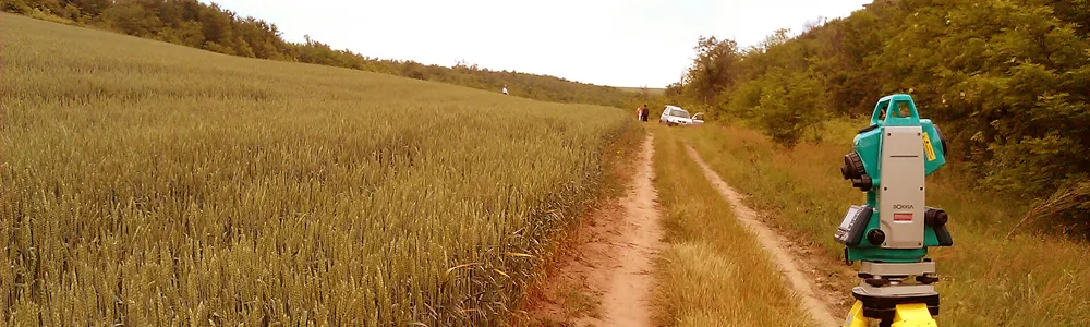
We survey plots, buildings, property boundaries, farmland, forests, linear structures and more. We process the data and deliver it in sets prepared for whatever it will be used for. We also take GPS measurements.
We prepare the documents for entering a plot or building in the existing cadastral map, and for changes to the outline of a building or to property boundaries. We also prepare the entry of individual units of property – a flat, a garage and so on – and of their owners.
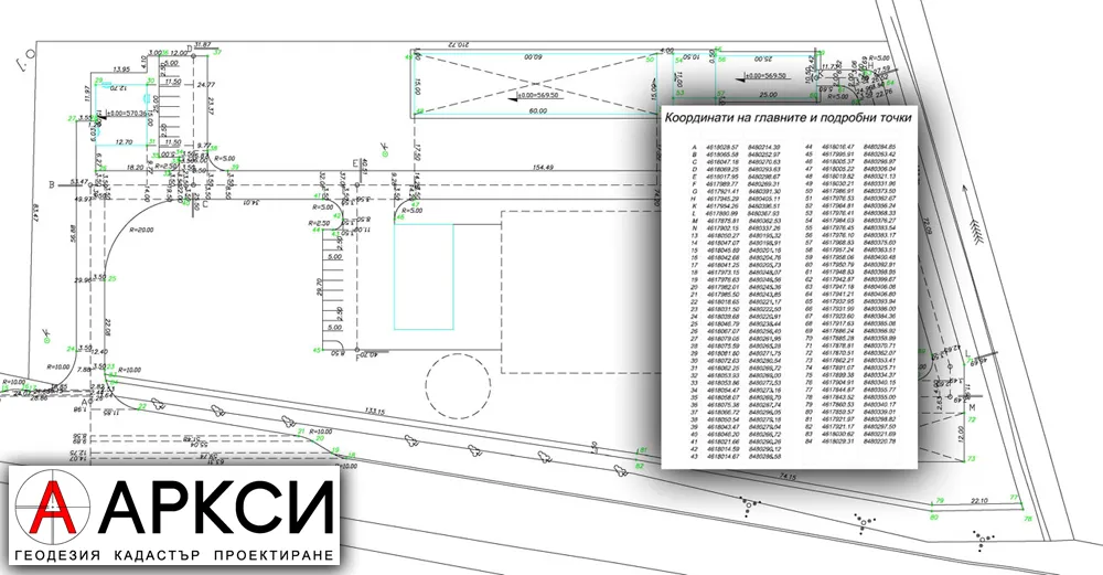
We stake out buildings, plots and property boundaries, farmland and forests, single points and linear structures, and issue a protocol for the stakeout.
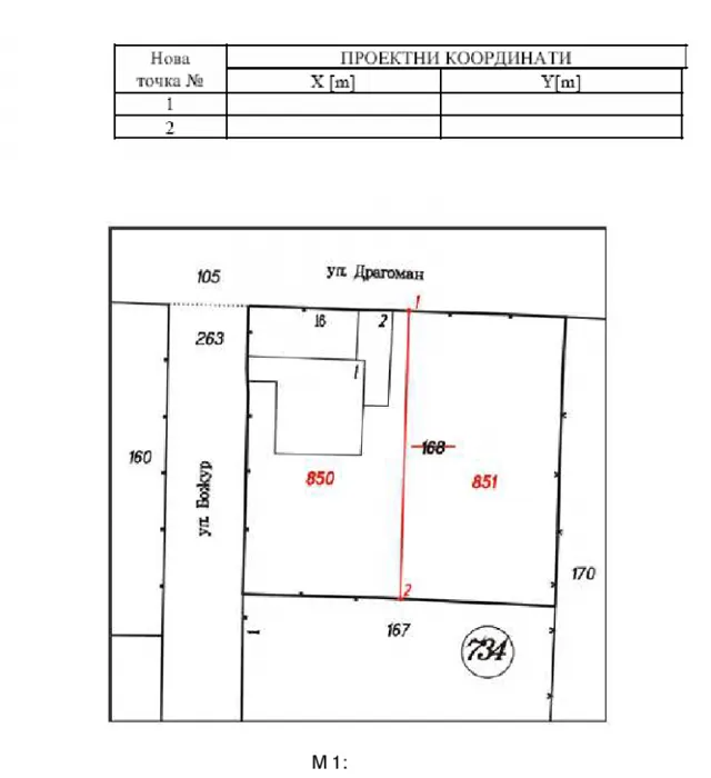
We prepare the design for dividing a plot, together with all the documents the partition requires.
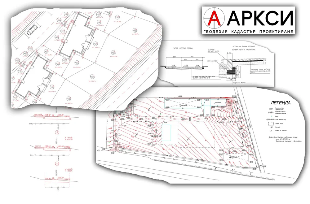
For investment design projects we prepare the geodesy part: grading (vertical planning), longitudinal and cross sections, vertical alignment and stakeout plans.
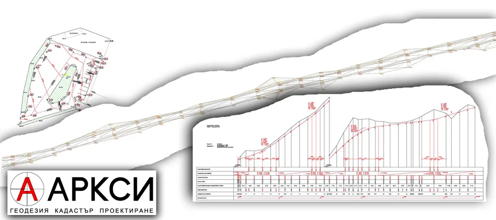
We design roads, car parks and other linear structures. The design includes the geodetic survey, the longitudinal and cross sections, the vertical alignment and a stakeout plan with the coordinates of the main points.
New solutions for design and construction: we fly a drone over the site and produce a 3D map from which volumes and areas are calculated and orthophoto plans are made. Our drones are latest-generation, with a 20-megapixel camera and up to 30 minutes of flight.
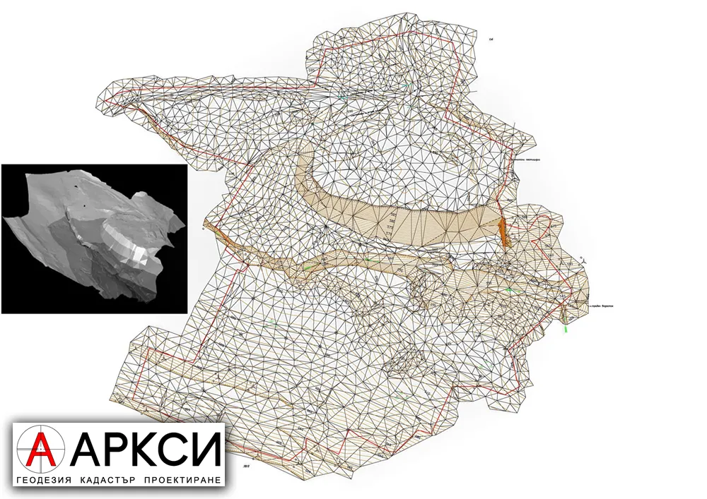
We build 3D models of sites, process the data for visualisation and calculate volumes.
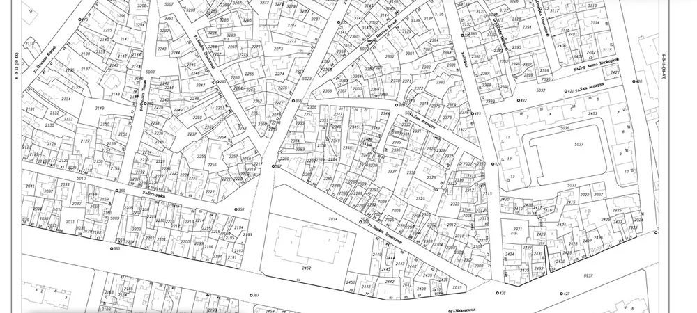
We have extensive experience in producing the cadastral map of whole settlements, together with the cadastral registers holding the owners’ data.
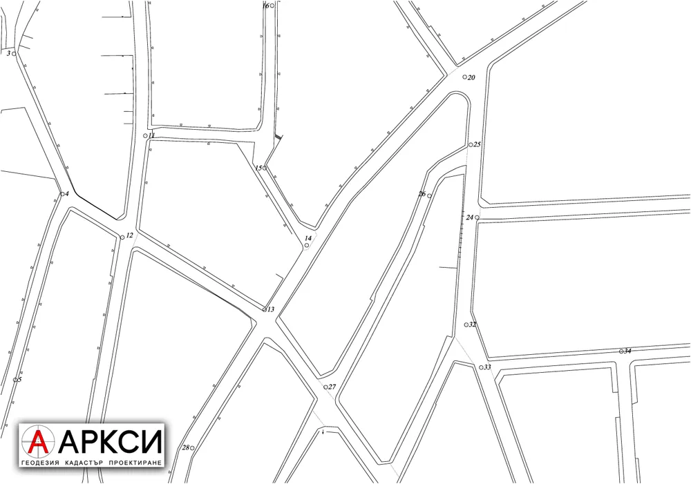
We establish and compute geodetic control networks and working control – the starting point of every geodetic measurement.
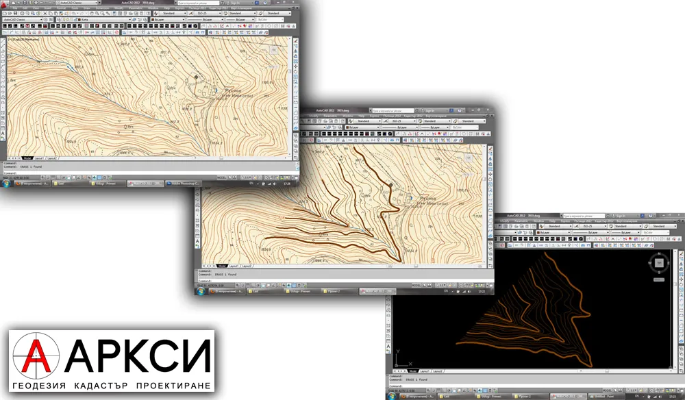
We turn maps and other drawings on paper into digital form.
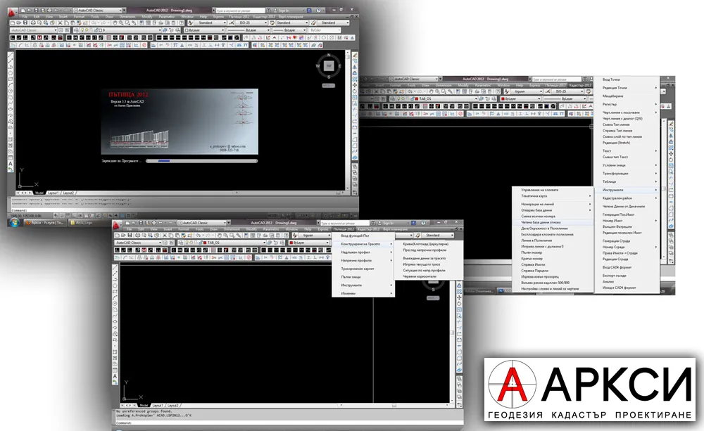
We develop surveying and road design software as applications for CAD systems that support C++ and LISP. We already have applications for cadastre, roads and grading.
The price depends on the property and on what the measurements are for. Describe the job and we will tell you what it takes and what it costs.